Hunting Property Aerial Drone Mapping
Starting at $450
In partnership with Everland Outdoors (formerly Aerial Wildlife Solutions), we are offering high-resolution, on-demand, aerial mapping services for hunting properties.
Our drone maps are ideal for all types of hunting property manged for: deer, waterfowl, upland, turkeys, small game and so on.
Our drone maps help landowners with:
- Building a hunting strategy:
"Where should we build blinds? Bury pits?"
"Where are the ideal locations to hang stands?"
- Scouting bedding/resting areas, pinpoint travel routes:
"Where are my birds most likely roosting?"
"What's the best access point to keep from pushing my deer?"
- Planning land improvements or construction to enhance habitat
"What is the best location to install an access gate?"
"Where shall we install our flash board riser?"
Why drone maps vs. online satellite imagery?
- Drone maps have higher resolution, better visual detail and provides a sharper image
- Drone maps are captured on-demand, you know the exact date and conditions of when the image was captured
- Drone maps are captured when conditions are ideal, in order to avoid clouds and eliminate shadows
- Drone maps allow full control flight paths and timing

Drone Map
Captured August 2025,
Just after food planting
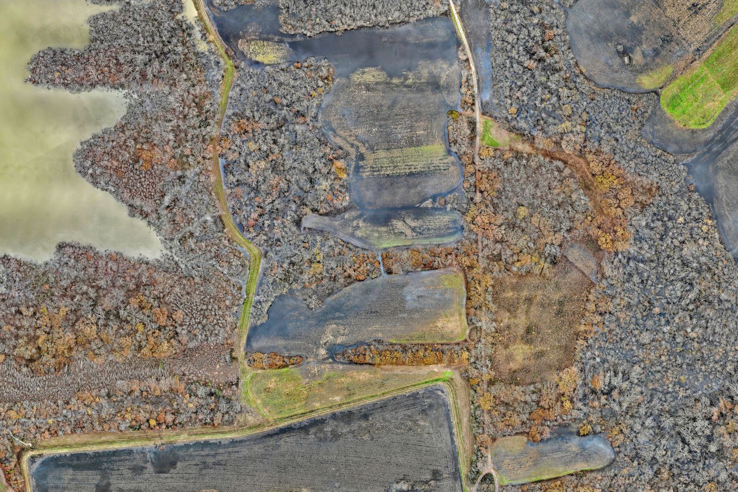
Drone Map
Captured November 2025,
Just after fields were flooded
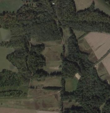
Online Satellite Image
Capture Date Unknown
What printing options are available?
Every property is uniquely shaped, so we size your map to best fit your layout and needs—from 10-inch field maps to 96-inch large-format wall maps. We can work with you on custom sizes.
Mapping media options includes:
- SEG Print – Ideal for large scale prints where size is more important than image quality.
- Buggy Maps - Heavy-duty photo poster, with dry erase laminate, can roll up and use as waterproof field maps for in-the-field scouting.
- Office Maps - Flexible-durable canvas material, sticks on wall and peels off easily
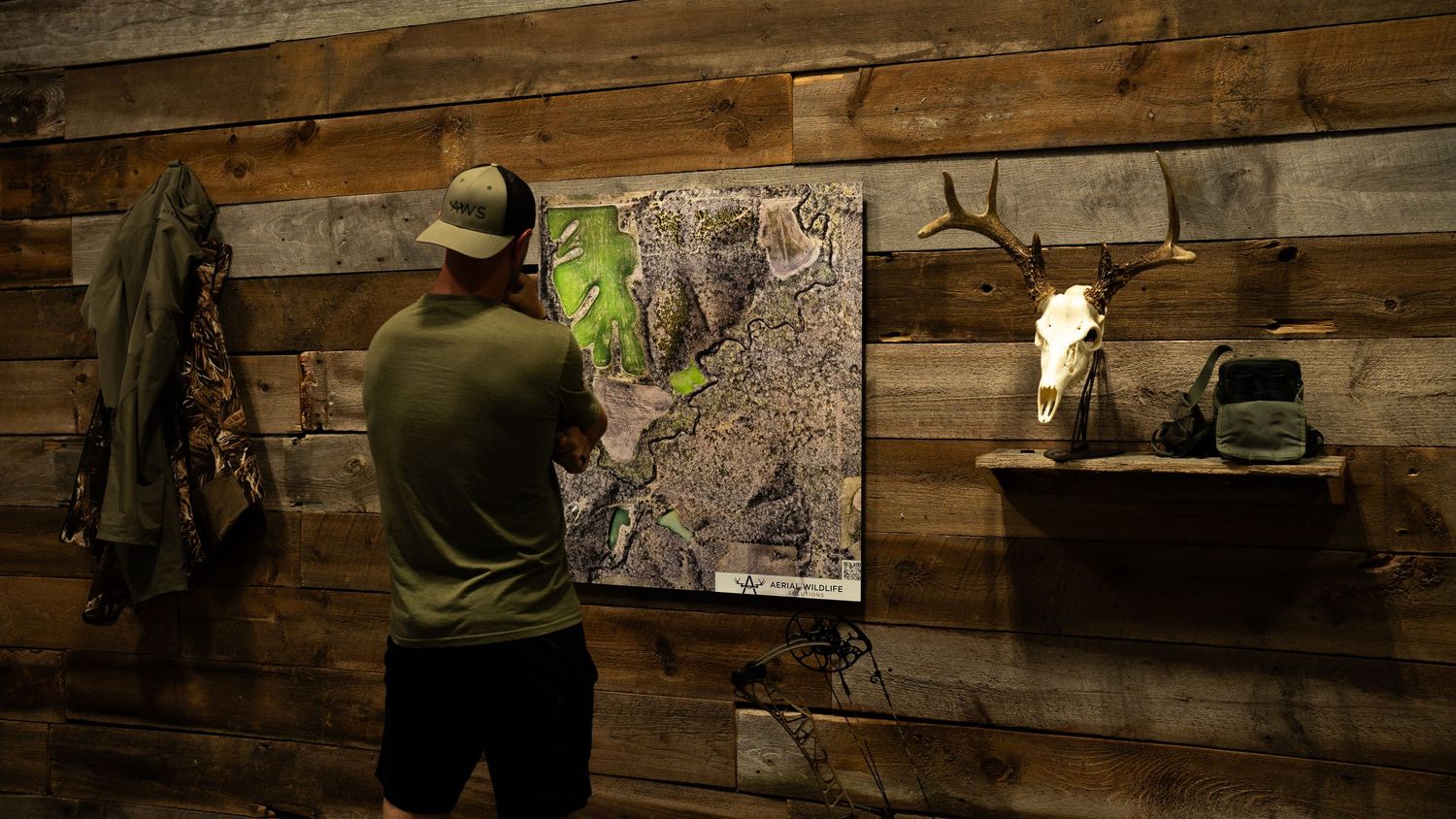
- Trophy Maps - Aluminum-panel with dry erase laminate mounted on a float back frame.
- Magnetic Maps – Fully magnetic and dry-erase friendly, ideal for labeling stand sites, cameras, food plots, and more
Click here to see more information
Interested in Getting Your Property Mapped?
Check out our Partners at
Everland Outdoors